We can't find the internet
Attempting to reconnect
Something went wrong!
Hang in there while we get back on track
SATPALDA

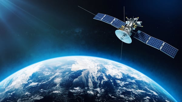
SATPALDA offers cutting-edge satellite remote sensing solutions, transforming how we view and manage geographic information systems.
About SATPALDA
Who We Are
Welcome to SATPALDA, a pioneering force in the realm of Geographic Information Systems (GIS) and satellite remote sensing. We are dedicated to harnessing the power of cutting-edge technology to revolutionize how the world views and manages its resources. Our expertise lies in the sophisticated use of satellite remote sensing, a transformative technology that leverages orbiting satellites to gather critical data about our planet’s surface, atmosphere, and oceans. This data forms the backbone of a wide array of applications, from scientific research and environmental monitoring to urban planning and disaster management.
At SATPALDA, our mission is to provide vital insights into the ever-changing landscape of our world. We collaborate with businesses, governments, and academic institutions to deliver high-resolution satellite imagery and comprehensive GIS solutions that are not only innovative but also practical. Our commitment to excellence and our passion for technology drive us to push the boundaries of spatial data utilization, enabling our clients to make informed decisions that are both sustainable and forward-thinking.
What We Do
At SATPALDA, we specialize in satellite remote sensing and its integration with Geographic Information Systems to offer a multitude of services that cater to various sectors. Our services include:
-
Environmental Monitoring: We provide a bird’s-eye view of environmental changes, assisting in tracking deforestation, land cover change, pollution detection, and natural disaster assessments.
-
Precision Agriculture: By combining GIS with satellite data, we empower farmers to monitor crop health, optimize irrigation, and enhance soil condition assessments, thereby improving yield and resource efficiency.
-
Disaster Management: Our satellite remote sensing capabilities deliver precise and timely information during natural disasters, supporting early warning systems and resource allocation for effective response strategies.
-
Urban Planning and Infrastructure Development: We assist city planners by providing high-resolution imagery for monitoring urban sprawl, assessing land use, and planning sustainable infrastructure.
-
Research and Development: We continuously explore new technologies such as AI integration and hyperspectral imaging to enhance data richness for more detailed analysis and insights.
Our comprehensive approach ensures that we deliver not only data but actionable intelligence that can be used to address complex global challenges.
Why You Should Use Us
Choosing SATPALDA means aligning with a partner who is at the forefront of satellite remote sensing technology. Here’s why you should consider us:
- Unmatched Expertise: Our team comprises experts who are not only skilled in remote sensing but also passionate about utilizing technology for meaningful change.
- High-Resolution Data: We offer unparalleled data richness with high-resolution satellite sensors that provide detailed insights into the Earth’s surface.
- Innovative Solutions: Our integration of AI with GIS platforms ensures precise and efficient data analysis, driving smarter decision-making processes.
- Sustainability Focused: We are committed to promoting sustainable development strategies by providing tools that help in environmental monitoring and disaster risk reduction.
- Customized Services: We offer tailored solutions that meet the specific needs of each client, ensuring that the information provided is relevant and actionable.
By choosing SATPALDA, you are investing in a future where data-driven insights lead to informed decisions for a sustainable and connected world.
What Can You Ask?
At SATPALDA, we understand that navigating the complexities of satellite remote sensing can be daunting. That’s why we encourage you to reach out with any questions or inquiries you might have. Here are some examples of what you can ask:
- How can satellite remote sensing benefit my agricultural practices?
- What types of environmental changes can be monitored using your satellite imagery?
- How does AI integration enhance the analysis of satellite data?
- Can you provide real-time data during natural disasters?
- What are the advantages of using high-resolution imagery for urban planning?
- How can your services help in climate change mitigation efforts?
- What future technologies is SATPALDA exploring to improve GIS applications?
We are here to support you every step of the way, offering insights and solutions that leverage the power of satellite technology to meet your specific needs.
